Written by Sig Silber
Updated at 5pm EDT on June 1 to reflect the Week 3 – 4 Forecast
On May 31, NOAA (as is their standard procedure) updated the Early Outlook for June. One thing is clear. Where you are will determine what you get and, as we will see tomorrow, being where the current drought is the worst may not be a good idea. The Mid-Atlantic might be unpleasant also by being overly wet and perhaps stormy. We may see the Subtropical Ridge appearing to get an early start moving north but most likely that will be MJO related.

This from the NOAA discussion may be the key to the forecast.
SOIL MOISTURE REMAINS A FACTOR IN THE JUNE TEMPERATURE OUTLOOK. DURING THE PAST 30 DAYS, PRECIPITATION AVERAGED MORE THAN 4 INCHES ABOVE NORMAL ACROSS THE SOUTHEAST AND MID-ATLANTIC WITH SOME AREAS RANKING ABOVE THE 70TH PERCENTILE IN SOIL MOISTURE. IN CONTRAST TO THE RECENT EXCESSIVE WETNESS, SOIL MOISTURE RANKS IN THE LOWEST 30TH PERCENTILE ACROSS PARTS OF THE CENTRAL AND SOUTHERN GREAT PLAINS ALONG WITH THE SOUTHWEST.
Please share this article – Go to very top of page, right hand side for social media buttons.
Now let us address the NOAA Update of the June, 2018 Forecast.
NOAA has, as usual, issued an update for the month following the last day of the prior month. This NOAA update was issued today Thursday May 31, 2018. In this Update Report, we present the Updated NOAA Outlook for June and compare it to the NOAA “Early Outlook” for June issued on May 17, 2018 about two weeks ago. Please note: all smaller graphics can be enlarged by clicking on them or right clicking and selecting the “view image) option.
First, I present a summary showing the prior and the new June forecast and the previously issued three-month forecast. Larger graphics follow but these smaller graphics can be enlarged.
| Temperature | Precipitation | |
| Prior Issued on May 17, 2018 |  |  |
| Updated on May 31, 2018 |  |  |
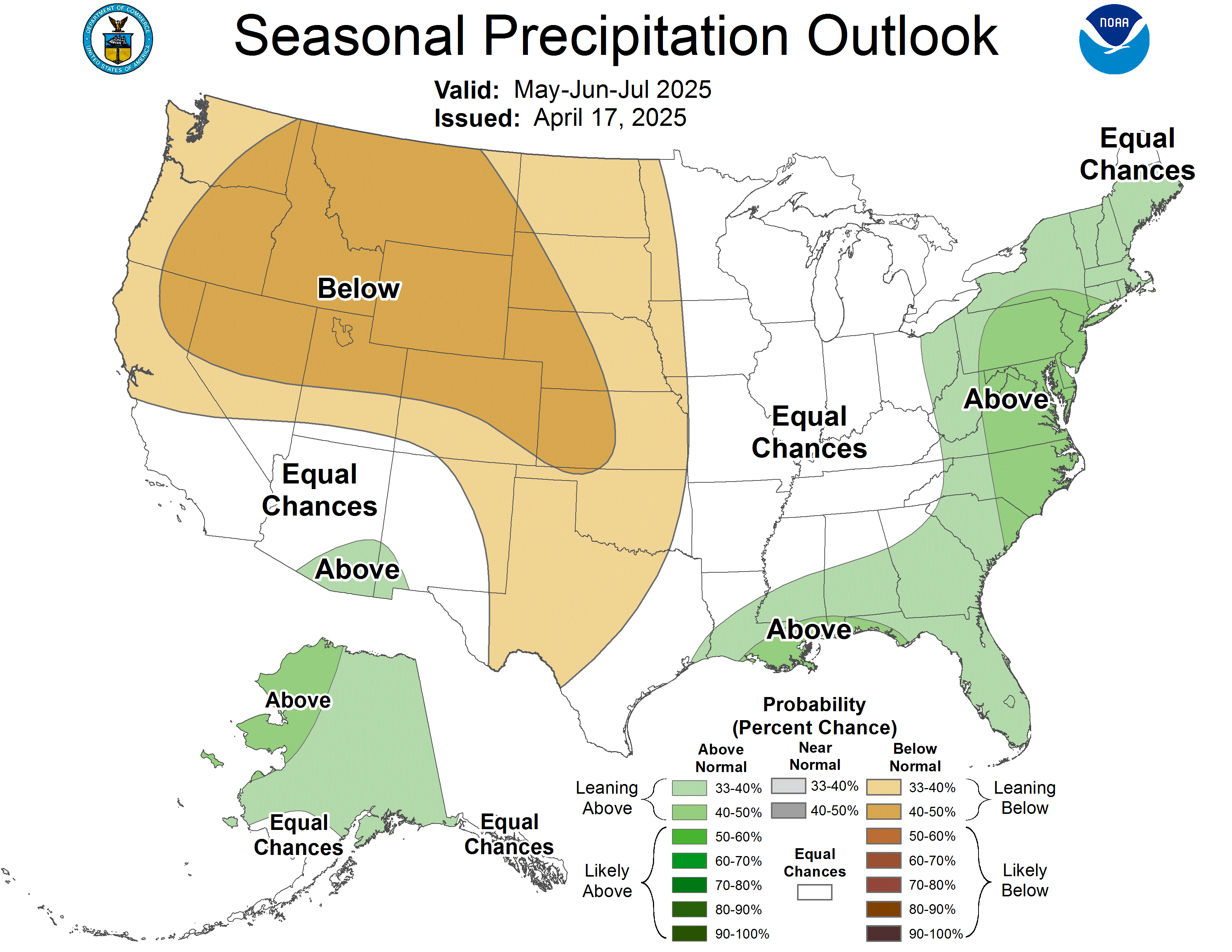
| Three Month Forecast Issued on May 17, 2018 |  |  |
Prior June Temperature Forecast Issued on May 17, 2018

New June Temperature Forecast Issued on May 31, 2018

Turning to Precipitation
Prior June Precipitation Forecast issued on May 17, 2018

New June Precipitation Forecast Issued on May 31, 2018

Here is the NOAA Discussion released on May 31, 2018 with the June Update. The Week 3 – 4 Forecast and Discussion will be updated on June 1 and we will discuss that in the Drought Report that we will publish on June 1.
30-DAY OUTLOOK DISCUSSION FOR JUNE 2018
THE UPDATED MONTHLY TEMPERATURE AND PRECIPITATION OUTLOOKS FOR JUNE 2018 ARE BASED ON THE LATEST DYNAMICAL MODEL GUIDANCE, WPC TEMPERATURE AND PRECIPITATION FORECASTS DURING THE FIRST WEEK OF THE MONTH, THE CPC 6-10/8-14 DAY TEMPERATURE AND PRECIPITATION OUTLOOKS, CLIMATE LINKAGES TO CURRENT SOIL MOISTURE CONDITIONS, AND THE POTENTIAL INFLUENCE FROM AN ATMOSPHERIC KELVIN WAVE (KW) [Editor’s Note: Kind of a Pre-El Nino Impact]. THE ENHANCED PHASE OF THE MADDEN-JULIAN OSCILLATION (MJO) PROPAGATED EAST ACROSS THE INDIAN OCEAN DURING LATE MAY. ALTHOUGH THE MJO TYPICALLY PROVIDES LITTLE IF ANY INFLUENCE ON THE CIRCULATION PATTERN AT THE MID-LATITUDES OF NORTH AMERICA DURING JUNE, A KW IS CURRENTLY CROSSING THE WEST PACIFIC. THE CFS MODEL INDICATES THAT THIS KW CONTINUES TO PROPAGATE EAST THROUGH THE BEGINNING OF JUNE AND MAY HELP TO INITIATE A TROPICAL CYCLONE (TC) ACROSS THE EAST PACIFIC OR WESTERN CARIBBEAN SEA DURING EARLY TO MID-JUNE. THIS INCREASING CHANCE OF TC DEVELOPMENT BY MID-JUNE IS A FACTOR IN SUPPORT OF ABOVE-NORMAL PRECIPITATION ACROSS THE SOUTHEAST.
THE CFS 500-HPA MONTHLY FORECAST FEATURES ANOMALOUS RIDGING, CENTERED OVER THE SOUTHWEST AND SOUTHERN GREAT PLAINS, WITH THE LARGEST 500-HPA HEIGHT ANOMALIES OVER THE WEST-CENTRAL U.S. THE REVISED TEMPERATURE AND PRECIPITATION OUTLOOKS ARE GENERALLY CONSISTENT WITH THIS PREDICTED LONGWAVE PATTERN. ONLY MINOR REVISIONS TO THE TEMPERATURE OUTLOOK ARE NECESSARY AS ABOVE-NORMAL TEMPERATURES CONTINUE TO BE FAVORED FOR A MAJORITY OF THE CONUS. SOIL MOISTURE REMAINS A FACTOR IN THE JUNE TEMPERATURE OUTLOOK. DURING THE PAST 30 DAYS, PRECIPITATION AVERAGED MORE THAN 4 INCHES ABOVE NORMAL ACROSS THE SOUTHEAST AND MID-ATLANTIC WITH SOME AREAS RANKING ABOVE THE 70TH PERCENTILE IN SOIL MOISTURE. IN CONTRAST TO THE RECENT EXCESSIVE WETNESS, SOIL MOISTURE RANKS IN THE LOWEST 30TH PERCENTILE ACROSS PARTS OF THE CENTRAL AND SOUTHERN GREAT PLAINS ALONG WITH THE SOUTHWEST. THE GEFS AND ECMWF ENSEMBLE MEANS INDICATE AN AMPLIFYING UPPER-LEVEL TROUGH EARLY IN THE MONTH ALONG THE EAST COAST. GIVEN THIS EXPECTED START TO THE MONTH, ONGOING HIGH SOIL MOISTURE CONTENT, AND UNCERTAINTY ON THE LONGWAVE PATTERN EVOLUTION DURING THE LATTER HALF OF THE MONTH, EQUAL CHANCES (EC) OF BELOW, NEAR, OR, ABOVE-NORMAL TEMPERATURES ARE FORECAST ALONG THE EAST COAST. TEMPERATURE TOOLS THROUGHOUT THE MONTH ARE IN GOOD AGREEMENT FOR ABOVE-NORMAL TEMPERATURES ACROSS THE CENTRAL AND WESTERN U.S. THE HIGHEST PROBABILITIES FOR ABOVE-NORMAL TEMPERATURES ARE FORECAST ACROSS THE SOUTHERN GREAT PLAINS AND SOUTHWEST DUE IN PART TO LOW SOIL MOISTURE AND THE ONGOING DROUGHT CONDITIONS ALONG WITH LONG-TERM TRENDS.
A DRY START TO JUNE AND A STRONG UPPER-LEVEL RIDGE PREDICTED FOR AT LEAST THE FIRST HALF OF THE MONTH ENHANCES ODDS FOR BELOW-NORMAL PRECIPITATION ACROSS THE CENTRAL AND SOUTHERN GREAT PLAINS ALONG WITH THE WESTERN U.S., EXCLUDING THE DRY CLIMATOLOGY AREAS OF CALIFORNIA. WEEK-2 PRECIPITATION TOOLS ALONG WITH RECENT DAILY RUNS OF THE CFS MONTHLY INDICATE ENHANCED ODDS OF ABOVE-NORMAL PRECIPITATION ACROSS PARTS OF ARIZONA AND NEW MEXICO. ON JUNE 1 AND 2, FORECAST HEAVY RAINFALL (LOCALLY MORE THAN 2 INCHES), ASSOCIATED WITH A VIGOROUS SHORTWAVE TROUGH AND MESOSCALE CONVECTIVE SYSTEM, INCREASES CHANCES FOR ABOVE-NORMAL PRECIPITATION ACROSS NORTH DAKOTA. ALTHOUGH A WET START TO THE MONTH IS ALSO LIKELY ACROSS THE MIDDLE TO UPPER MISSISSIPPI VALLEY AND MUCH OF THE CORN BELT, RAINFALL AMOUNTS ARE EXPECTED TO BE SLIGHTLY LOWER THAN NORTH DAKOTA. DURING THE REMAINDER OF THE MONTH, ONLY WEAK SIGNALS EXIST AMONG THE PRECIPITATION TOOLS. THEREFORE, EQUAL CHANCES OF BELOW, NEAR, OR ABOVE-NORMAL PRECIPITATION ARE FORECAST FOR THE MIDDLE TO UPPER MISSISSIPPI VALLEY AND CORN BELT. ENHANCED ODDS FOR ABOVE-NORMAL PRECIPITATION ARE MAINTAINED ACROSS THE SOUTHEAST, BASED LARGELY ON GOOD CONSISTENCY AMONG DAILY CFS MODEL RUNS. DURING THE FIRST WEEK OF JUNE, A CLOSED 500-HPA LOW IS EXPECTED TO DEVELOP AND RESULT IN HEAVY RAINFALL (1 TO 3 INCHES) ACROSS THE NORTHERN MID-ATLANTIC. THEREFORE, INCREASED CHANCES FOR ABOVE-NORMAL PRECIPITATION ARE FORECAST FOR THIS REGION. A SLIGHT TILT IN THE ODDS FOR BELOW-NORMAL PRECIPITATION IS FORECAST FOR THE EASTERN GREAT LAKES AND NEW ENGLAND WHERE DAILY CFS MODEL RUNS FEATURE A CONSISTENT DRY SIGNAL.
THE HIGHEST PROBABILITIES FOR ABOVE NORMAL TEMPERATURES ARE FORECAST ACROSS THE ALEUTIANS AND WESTERN COASTAL MAINLAND ALASKA WHERE SEA SURFACE TEMPERATURE ANOMALIES ARE AVERAGING MORE THAN 1.5 DEGREES C ABOVE NORMAL. SINCE TEMPERATURES ARE FORECAST TO AVERAGE NEAR TO BELOW-NORMAL ACROSS SOUTHEAST MAINLAND ALASKA AND THE ALASKA PANHANDLE DURING THE FIRST TWO WEEKS OF JUNE, EC IS THE PREFERRED TEMPERATURE FORECAST FOR THESE AREAS. A REVISION TO THE PRECIPITATION OUTLOOK IS NECESSARY TO EASTERN MAINLAND ALASKA WHERE RECENT CFS DAILY MODEL RUNS INDICATE ENHANCED ODDS FOR BELOW-NORMAL PRECIPITATION.
Visual Consistency Testing.
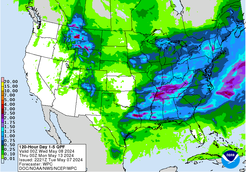
Sometimes it is useful to see how the Monthly forecast fits with the 1 – 5 Day, 6 – 10 Day , 8 – 14 Day and Week 3 and 4 forecasts. I do not have comparable maps for the Day 1 – 5 forecast in the same format as the three maps we generally work with. What I am showing for temperature is the Day 3 Maximum Temperature and for precipitation the five-day precipitation: the latter being fairly similar in format to the subsequent set of the maps I present each week but showing absolute QPF (inches of precipitation) not QPF deviation from Normal. The Week 3 – 4 Forecast is six days old. If it changes dramatically tomorrow when updated, we will update the commentary if needed…the graphic will update automatically.
First Temperature
And then Precipitation
Sometimes it is useful to compare the forecast for the current month with the prior three-month forecast to see if the updated forecast for June might impact the prior forecast for June/July/August issued two weeks ago.
June 2018 Plus June – August 2018 Outlook

One can mentally subtract the First-Month Outlook from the Three-month Outlook and create the Outlook for the last two months in the three-month period.
*The concept is that the probabilities of a deviation from climatology in the First Month and the combined Month Two and Three forecast that one derives must average out to the probabilities shown in the three-month maps.
For comparison purposes, here are the NOAA June-July- August forecast maps on the first set of rows and the June-July-August JAMSTEC forecast maps for North America in the second set of rows.
| NOAA June-July-August 2018 Temperature | NOAA June-July-August 2018 Precipitation |
 |  |
| JAMSTEC June-July-August 2018 Temperature | JAMSTEC June-July-August 2018 Precipitation |
 |  |


